This is a summary of the ground I’ll be covering at an upcoming talk for the Sacramento Public Library. It’ll be held at the Ella K. McClatchy branch, 2112 22nd St. at 1pm on Sunday Dec. 11.
Sacramento grew out of a natural basin, into which annual rains flowed to form an inland sea. The native Ninesan people once lived on the dry patches formed by the rivers’ banks, reaping the spectacular bounty of the wetlands while moving out of the way when waters rose. It is an odd place for a city, and would seem like the worst place to build under normal circumstances. However, Sacramento’s development was anything but normal, driven by extraordinary speculation and intense land struggles that sometimes turned violent.
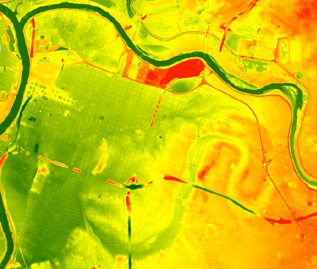
Sacramento is not flat. Our “City of the Plains” lacks dramatic hills or river valleys, but it is far from featureless. Seasonal floods once cast great importance on small differences in elevation built over eons by Sacramento’s shifting waters, which sometimes flow higher than the city streets, and other times pulse with the faraway ocean’s tides. Situated within a maze of historic and prehistoric river channels, Sacramento lies at – or perhaps we should say “in” – the confluence of two major rivers.
The story of this city and these rivers illustrate the tension between California’s Gold Rush origins and the struggle to build a large permanent settlement on land that was naturally submerged swamplands for part of every year. The development decisions of the 19th Century continue to reverberate in a community that has stayed (mostly) dry only through the desperate raising of downtown, as well as construction of massive levees and dams.
The speculative grid of “Sacramento City” eclipsed earlier settlements, and created a highly ironic development pattern: A city that was created on bottomlands to provide access to the American River’s gold has now almost entirely turned its back on that waterfront, reducing downtown’s northern portion to an industrial backwater and literally burying our earliest historic sites: The riverbank where Johann Augustus Sutter first came ashore now sits dozens of feet under a former city landfill, more than a quarter of a mile from the closest water. And the original settlement at the rivers’ confluence lies under the Railyards, with potentially sensitive archaeological sites in the path of redevelopment.
It may be too late to reconnect the River City to the unruly American River. Its natural banks are higher than the surrounding lands, and prone to dramatic overflow – and worse, generations of misuse have left the former riversides isolated and badly damaged. However, we can still learn from the shortsighted decisions, driven by the quest for individual profit, which locked our community into an unhealthy relationship with the waters that gave it birth. Sacramento’s long-neglected first waterfront provides a challenging long-term development challenge, in which we might strike out in a new direction over the coming generations, gaining a second chance of eventually creating a waterfront based on the community’s needs instead of speculative profit.
An interactive map of the American River waterfront, past and present, is available here.

Well done!
LikeLike