Sacramento is famous as a place where rivers flow together. The Confluence of the Sacramento with the American River obviously provides the city’s reason for being: Here the “Nile of the West” – a great navigable channel that flows to the Pacific – takes in another major stream that was the source of the gold that made that navigability so important.
The Confluence is also symbolic of the collision between two civilizations. One, represented by the Ninesan, Miwok and Patwin, lived for countless years in a vast fertile valley of almost inconceivable abundance. The newer civilization staked its claim on extraction and exploitation of a different wealth – the minerals that washed down from the mountains.
This was an important central destination for large ships bearing cargo from the United States via San Francisco. Here, goods could be unloaded and then shipped by land to the ever-changing array of mining camps that sprouted and spread from a point upstream from here. Sacramento’s location makes a lot of sense as a beachhead for commerce and extraction, but not much for long-term settlement.
Why Are We Here?
In Gold Rush Capitalists, Mark Eifler observes that some cities are not in the best location given the regional geography. He notes that both San Francisco and New York sit at what were then important military positions, but both faced major challenges as they changed from outposts to population centers; both have long since outgrown their peninsula or island. So great bridges and tunnels and bulkheads are built and eventually people lose sight of the location’s serious flaws.
But of course once a city center is established, it will not move easily due to sunk costs. Sacramento’s sunk costs – levees and the physical raising of downtown – put it in the path of two major rivers that overflowed for a significant portion of most winters; this was not so much a matter of unusual flooding events as a general tendency for the rivers to form a great seasonal wetland. Spectacular engineering has forced these rivers to behave – so far – in ways conducive to the land speculation on which our regional economy has been built.
It was no accident that Sacramento grew in such a troublesome location. The actions of a few greedy men put it here. Yet oddly enough, the confluence we all know at Discovery Park is as artificial as the city that was built here by the newcomers who bought land claimed by a Swiss swindler named Johann Augustus Sutter. And it should be noted that Sutter was a mercenary for Mexico whose name was pronounced “Sooter” (alias Captain “John” Sutter in the Americanized mythology of this place).
Sutter sought to build a private kingdom of Nueva Helvetia – New Switzerland – but his bungling overreach presented the opportunity for a wayward Mormon named Sam Brannan to exploit this wannabe monarch’s debt. Long story short, Brannan created a vast rectangle of parcels in the bottomlands, positioning himself and a couple dozen others for tremendous profit as the Gold Rush caused real estate prices to skyrocket by as much as 3200%. The end result is that California’s largest non-coastal city lies in what is probably its most perilous location, close to the lowest point of one of the planet’s greatest wetlands.
Perils of the Confluence
At the moment, we seem to have the rivers under control. But back at the start of 1850, everyone knew the Confluence was in charge.
Sacramento’s waterfront grew on a great sandbar. This should have been a red flag, if widespread debris in standing trees wasn’t warning enough. Even though this particular sandbar was durable and elevated enough to support a mature oak, it was nonetheless an ephemeral feature in geological terms. In the first winter of the Gold Rush, the booming population was driven by water onto this relative high ground.
The sandbar, in place for long enough for the life of a great oak, would have been among the first places to rise above the inland sea that formed every winter. It, and other dry spots, could have served as a staging ground for hunting, harvesting and trade during the lean months between the departure of the waters and the ripening of the fruit.
Rivers eventually change course on flatlands. They form natural levees that rise above the valley floor. And then they puncture them, draining out from their silt-filled channels. We might stop this process for a century, or maybe two. But ultimately river courses in our valley are temporary.
The American flows from a relatively young mountain range, bearing vast loads of sediment each winter and spring. Then it slows to a trickle each summer and fall. Our hydrological cleverness has slowed down this process, but ultimately it continues. This is a wild river, all the way to its mouth.
We like to think of our city as sitting at the confluence – a nice tidy spot with beaches and fishing spots and an old bridge for daredevil jumpers. But it is probably more accurate to view our city as growing from within the Confluence of these two mighty waterways.
During the days of Sutter and Brannan, the confluence was located just upstream from the I Street rail bridge. It stayed there until people redirected it in a major project inspired by the tremendous damage of the 1861-62 floods.
The Southern Pacific railyards were constructed by dumping gravel into what had been the active river channel. What’s more, our current train station was built upon an even older river channel, which formed a body of water called Sutter Lake, which had no doubt been a great attraction to the indigenous population. This wetland was an old channel silted in behind that great sandbar. But this river course never really went away.
A map of the great flood of 1861-62 hints at the peril faced by the young city. Sacramento’s levees (including one along R Street) routed the waters around the southeast side of the city, briefly forming an island before they collapsed and allowed the American to reclaim the Confluence.
Sutter Lake – also known as China Lake as Chinese immigrants gathered on its shores – was usually a quiet slough whose remnants can still be seen in the ponds both in McKinley Park and behind Sutter’s Fort. This channel retained its power as part of the confluence; it can be discerned on the map as a short dead-end channel pointed directly at the city’s northeast corner.
Rivers do not submit to dead-ends.
Looking deeper still at the landscape, a trio of ridges hint at even greater and older floods. The Confluence carved around the more resilient earth found just south of the old city cemetery on Broadway, Poverty Ridge in Midtown (which includes the hill on which Sutter built) and even out to Oak Hill in what is now East Sacramento. I grew up in the bottom of an ancient channel that follows 42nd Street, and I often noticed that our gutters flooded when it rained, more than the streets on either side of us. Now I know why.
Changing Course
It would be a much better world if we could truly grasp the injustice and suffering of other peoples, and do justice for innumerable past wrongs. Alas, we are tribal critters. But we still might hope for an improved sense of solidarity from grasping that our own ancestors were also screwed by the rapacious Gold Rush invasion from the East, this wave of supposedly European values of greed and treachery. European immigrants to this land have gotten both ends of the stick as well. And faced with injustice surrounding Sutter’s obviously bogus land claim, our city’s true founders organized.
At its peak Settlers’ Association had over 1000 members, and they very nearly overthrew the speculator-dominated first government of Sacramento City (for better or worse). Their consensus-based organizing, and their leaders including Dr. Charles Robinson, have been largely suppressed in our history.
My upcoming tour, “Squatterville,” will begin to excavate their importance.
We can never right the wrongs committed against the Ninesan, nor can we undo the foolish suppression of the Settlers’ Association. But we should remember that there was in fact a serious attempt at a third way between coexistence and exploitation.
By understanding the Confluence of history’s currents at we might seek to rebalance our modern blended community – which still includes an estimated 47,000 Native Americans – in ways that are more conducive to life in this place.
The Settlers were not apparently more enlightened with regards to treatment of the native people, but their movement was at least a sort of hybrid in terms of its exploitation. Perhaps it might be represented by the two rivers mixing together below the Confluence.
When the flow of history is forced into a limited channel, it will eventually break free. It does not matter how high we build our walls against the truth. At first glance Sacramento is a featureless flatland, but this whole place is shaped by the Confluence. We ignore the rivers and their legacy at our peril. They will sooner or later overcome our defenses.
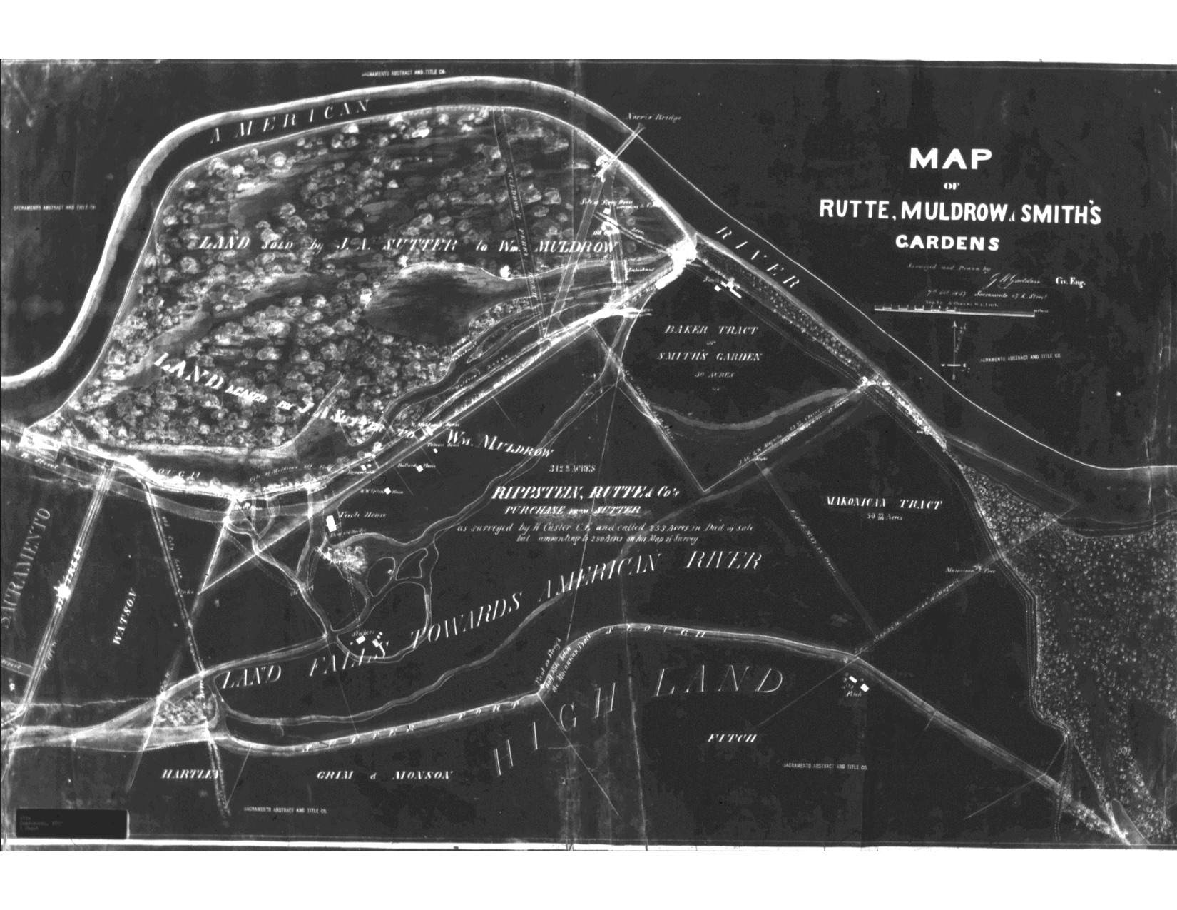
Update, June 2: I just found an amazing old map of all the river channels in east Sacramento. It turns out the Confluence was even greater than I imagined. I’ll just add it here.